
Mandi Trekking: Prashar or Shikari First?
Use Mandi trekking as a branch choice: Prashar first, Shikari Devi and Kamrunag separately, and Barot as a Uhl-side valley base.
- 01Prashar Lake (2,730 m)
- 02Kamrunag Lake & Temple
- 03Shikari Devi
- 04Rohanda → Kamrunag → Shikari Devi traverse
- 05Barot → Rajgundha (cross-border to Kangra)
- 06Bhrigu Lake (cross-border to Kullu)
- 07Janjehli + Seraj valley (slow-stay base)
Mandi district hides four of central Himachal's most under-walked treks — Prashar Lake (2,730 m), Kamrunag Lake, Shikari Devi and the long Rohanda-to-Shikari traverse via Kamrunag. The trailheads sit a 3–4 hour bus ride from Chandigarh, and most weekends here see a fraction of Triund's crowds.
- When
- April–June + September–October are the safe windows. Prashar works year-round; the high-altitude traverses (Kamrunag, Shikari Devi) need post-April for snow to clear. · Reddit traveller reports
- Cost
- ₹10,000–15,000 for a 3–5 day self-organised snow trek; operator-led Bhrigu Lake-class treks run higher. · Reddit budget reports
- Get there
- Chandigarh → Mandi by HRTC bus (~3–4 hrs). Mandi → Prashar trailhead by bus or taxi (~10 km). Mandi → Rohanda by local bus for the Kamrunag/Shikari side. · Reddit transit reports
- Heads-up
- The Rohanda–Kamrunag–Shikari traverse has no en-route shelter; carry everything. Janjehli/Thunag area is still recovering from 2023 floods — check current road status. · Local Reddit + news
What travellers actually figure out
- Three of Mandi's four named treks cluster around the Seraj-Pir Panjal ridge: Kamrunag and Shikari Devi are the two high points, and locals routinely walk between them on a single multi-day route from Rohanda. Shikari Devi temple is famously roofless — open to the sky year-round.
- Prashar Lake is the entry-level pick — 2,730 m, with a short two-hour walk-up if you take the bus or taxi from Mandi town (about 10 km from the trailhead). Winter is when it gets photogenic; locals recommend December for the frozen-lake look but warn the last 5 km of road snow out and you'll need to walk.
- The Rohanda → Kamrunag → Shikari Devi traverse is a multi-day route with no facilities in between — one walker who's done it from all three sides (Rohanda, Jalpa Devi Mandir, Shikari Devi) explicitly warns first-timers to wait until end of April for safe snow conditions.
- Barot Valley + Rajgundha is the cross-border option that travel agencies usually don't mention: Rajgundha is 7 km from Barot and a 12 km hike from Billing (the Bir paragliding take-off). Most visitors who go via Bir do it as a side-trip rather than a primary destination.
- Bhrigu Lake is technically in Kullu but commonly run as an organised trek from the Manali side via operators like Trek The Himalayas; one beginner who joined a mid-June group reported it as accessible for first-timers but cautioned about the altitude gain.
- Janjehli and Seraj are the slow-stay backstop — the area saw severe flood damage in 2023 (Thunag/Janjehli) and is rebuilding, but it remains the offbeat alternative to the Manali-Kasol routing for travellers who want long walks without crowds.
- Budget reference from one Mandi-origin trekker planning a 3-5 day snow trek: ₹10,000–15,000 all-in (college-student range, mostly homestay + HRTC bus). Operator-run treks like Bhrigu Lake with TTH-style outfits sit above that band.
Synthesised from Refuje's own research pipeline · paraphrased, never quoted
Specific places worth knowing

Prashar Lake (2,730 m)
Freshwater lake named after Rishi Parashar (father of Krishna Vyas), with a three-tiered pagoda-style temple beside it. ~10 km from Mandi town, accessible by bus or taxi most of the year; the last 5 km can snow out in deep winter.

Kamrunag Lake & Temple
Sacred high-altitude lake with a centuries-old temple dedicated to the Kamrunag devta — one of Mandi's most important local deities. Three documented walking approaches: from Rohanda, from Shikari Devi (the long traverse), and from Jalpa Devi Mandir.

Shikari Devi
District-highest peak crowned by an open-sky temple — no roof has stood here, by tradition, for centuries. Visible from IIT Mandi campus when the air clears; one Una resident reported being able to see it from Talai hilltop after heavy rain.
Rohanda → Kamrunag → Shikari Devi traverse
The multi-day connector across Mandi's three high-altitude temple sites. Starts from Rohanda (motorable trailhead), climbs to Kamrunag Lake, then ridge-walks south-west to Shikari Devi temple. No en-route facilities.

Barot → Rajgundha (cross-border to Kangra)
Most-photographed offbeat valley in the Bir-Billing hinterland. Rajgundha is 7 km from Barot or a 12 km hike from the Billing paragliding take-off. Most travellers who reach it do so as a 1-2 day side-trip from Bir, not a primary destination.

Bhrigu Lake (cross-border to Kullu)
High-altitude alpine lake on the Kullu side, but most commonly accessed from the Manali approach and offered as an organised 3-4 day trek by operators like Trek The Himalayas. The Mandi link is logistical — Manali sits past the Mandi-Kullu route.

Janjehli + Seraj valley (slow-stay base)
The slow-walk backstop in Mandi's eastern Seraj valley. Long forest trails, low operator presence, very few outside travellers. Severe flooding in 2023 damaged parts of Thunag/Janjehli — check current road status before planning.
Cost and transport
- Self-organised 3-5 day snow trek₹10,000-15,000College-student budget range; HRTC + homestay + own food.
- Operator-led Bhrigu Lake (TTH-style)Direct quoteSits above the self-organised band; specific rates not openly published.
- Chandigarh → Mandi HRTCDirect quote~3-4 hour transit; price varies by AC vs ordinary.
Bus + cab rates pulled from HRTC + Shimla Cart Road stand quotes, May 2026. Fuel estimate at ₹100/L on a Shimla circuit (~110 km round-trip).
Which Mandi trek should I do as my first?
Prashar Lake. It's the lowest-altitude (2,730 m), road-accessible most of the year, and walkable in 2 hours from the trailhead. The dedicated Prashar Lake trek guide has the full details.
Can I do Kamrunag and Shikari Devi together?
Yes — the Rohanda → Kamrunag → Shikari Devi traverse is the local-walker route, but you need self-sufficiency: no en-route shelters or shops. The safe window is end of April onwards, once the highest sections clear of snow.
Is Barot Valley a Mandi trek or a Kangra trek?
Barot sits in Mandi district; Rajgundha and the Billing paragliding take-off are on the Kangra side. Most travellers reach Rajgundha as a 1-2 day side-trip from Bir rather than starting from Mandi town.
Is the Rohanda-Shikari traverse safe for solo trekkers?
Doable if you've done multi-day self-sufficient walks before. The 'no facilities en-route' caveat is the real constraint — bring shelter, water, food. Locals who've walked it from all three approaches recommend April-end onwards.
What's the budget for a 3-5 day Mandi trek?
₹10,000-15,000 covers a self-organised college-student-style snow trek (HRTC + homestay + own meals). Operator-led treks like Bhrigu Lake sit above that band.
How do I get to Mandi from Chandigarh?
HRTC bus, ~3-4 hours. From Mandi town, local buses or taxi run to each trailhead — Prashar (10 km), Rohanda (for Kamrunag/Shikari), and Barot via Aut and Thachi.
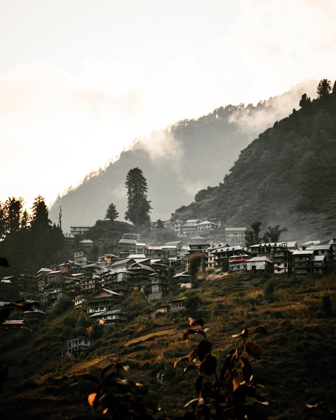
Malana
~38 km from the in-scope cluster
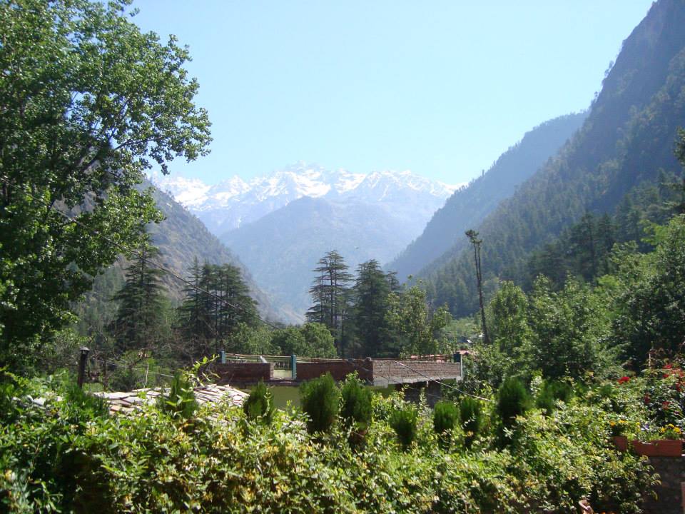
Kasol
~41 km from the in-scope cluster

Joginder Nagar — eastern terminus
~43 km from the in-scope cluster